
Services
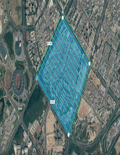
Using the latest drones equipped with high-resolution cameras and LiDAR sensors, we capture detailed aerial imagery and topographic data. Our services include 2D & 3D mapping, contour mapping, volumetric analysis, and more, ensuring that your projects are mapped with precision.
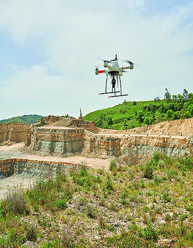
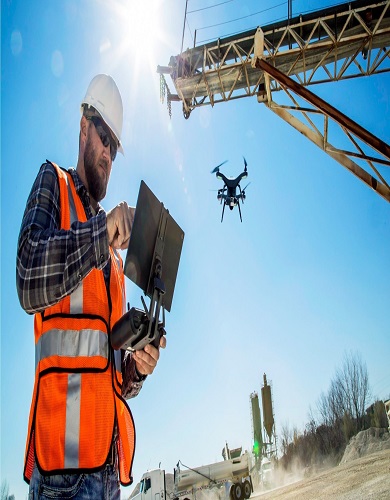
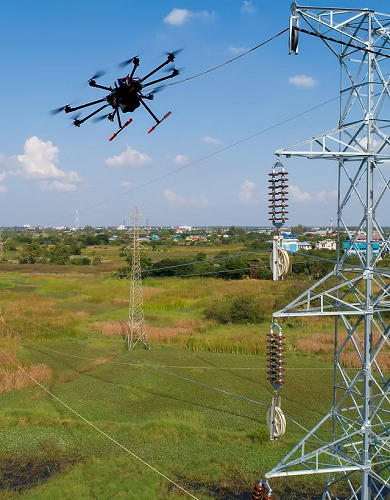
QI India provides drone-based inspections for power lines, cell towers, bridges, pipelines, and other critical infrastructure. Drones help minimize downtime, reduce costs, and improve safety during inspections, all while ensuring minimal disruption to ongoing operations.