


Log in
About QIAerotech
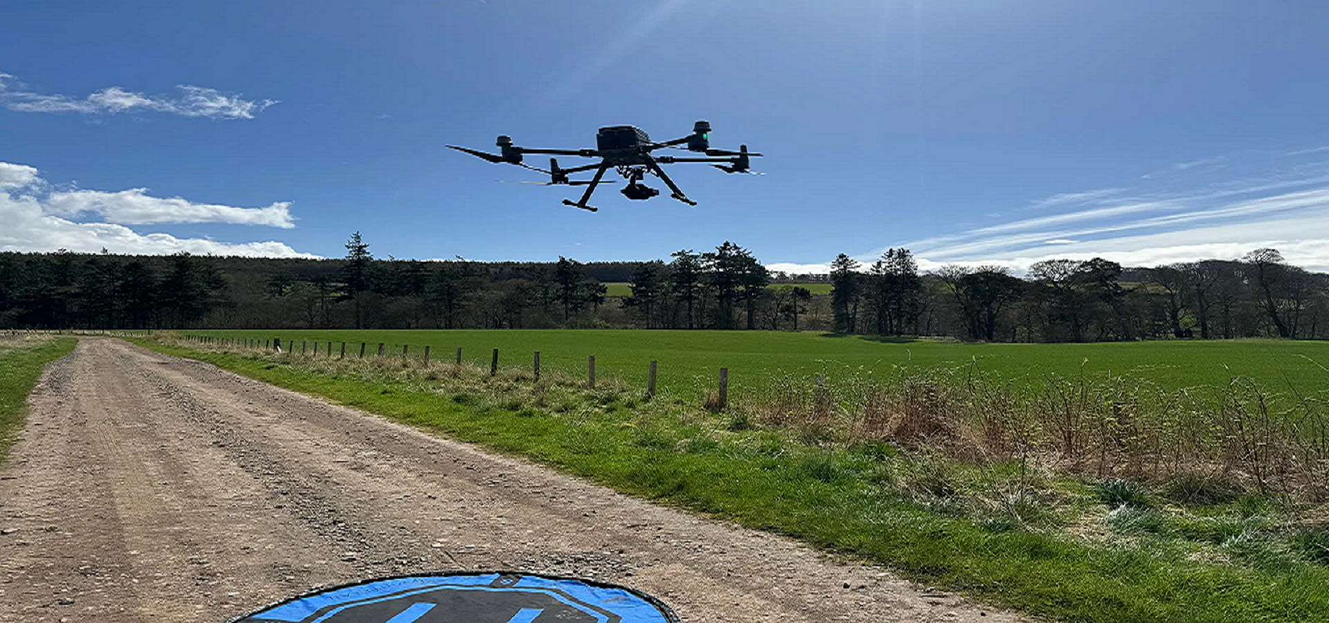
At QIAerotech, we are at the forefront of innovation, transforming how industries approach survey and mapping tasks. We specialize in providing cutting-edge drone survey and mapping services that empower businesses with high-quality data, precision, and efficiency. Our advanced drone technology, paired with experienced professionals, ensures that you receive accurate, reliable, and actionable insights for your projects.
Our mission is to revolutionize the survey and mapping industry by providing state-of-the-art drone technology to deliver efficient, cost-effective, and high-precision data. We aim to make data collection faster, safer, and more accurate, enabling businesses to make informed decisions based on real-time, actionable insights.