


Log in
PRECISE DATA
High-accuracy drone surveys deliver reliable mapping for your projects.
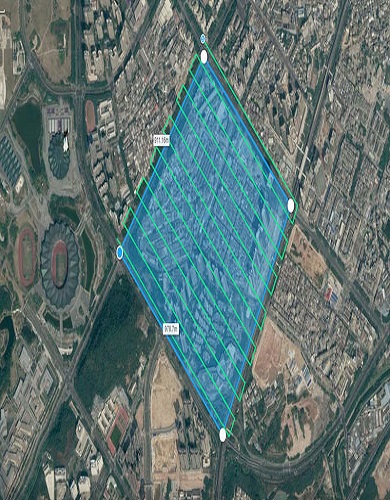
Using the latest drones equipped with high-resolution cameras and LiDAR sensors, we capture detailed aerial imagery and topographic data. Our services include 2D & 3D mapping, contour mapping, volumetric analysis, and more, ensuring that your projects are mapped with precision.
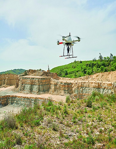
Our drone mapping services offer accurate volumetric calculations and topographical maps for mining operations. We help businesses monitor stockpiles, track excavation progress, and maintain safety compliance with real-time data.
We provide precise land surveying services for construction projects, land development, and infrastructure planning. Our drone technology eliminates the need for traditional methods, reducing time, cost, and risk while delivering highly accurate results.
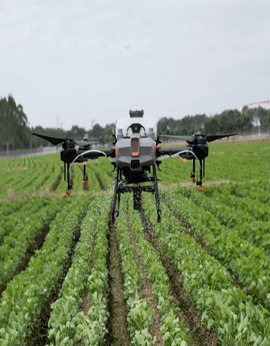
Through drone-assisted surveying, we help farmers, agricultural enterprises, and environmental agencies monitor crops, terrain, and natural resources. Our drone services provide valuable insights into land health, vegetation index, and crop yield predictions.
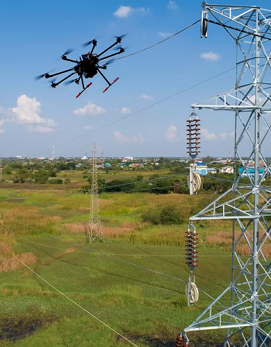
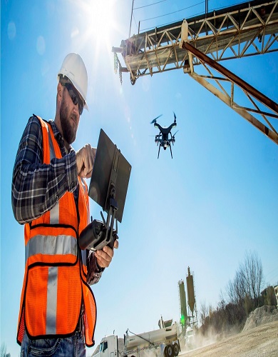
QIAerotech provides drone-based inspections for power lines, cell towers, bridges, pipelines, and other critical infrastructure. Drones help minimize downtime, reduce costs, and improve safety during inspections, all while ensuring minimal disruption to ongoing operations.

We support urban planning with data that helps create smarter, more efficient cities. City Mapping & Infrastructure Planning. Smart City Development Insights. 3D Urban Models for Visualization.
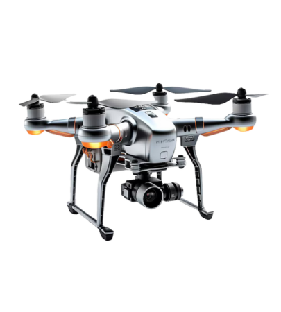
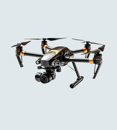
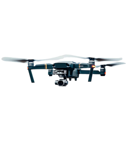
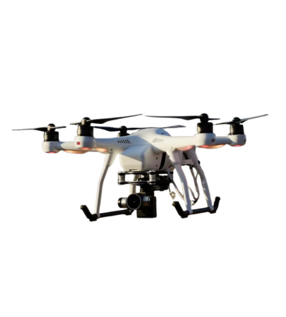
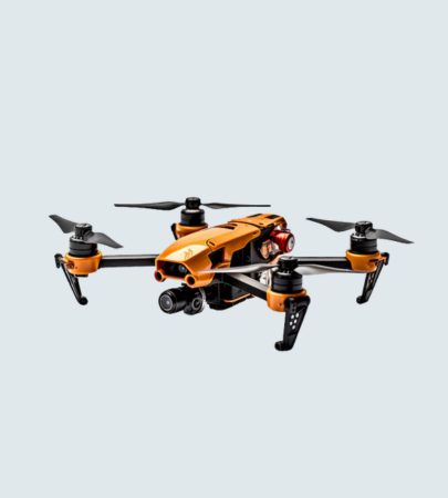
Explore advanced drones delivering precision mapping for your industry projects.
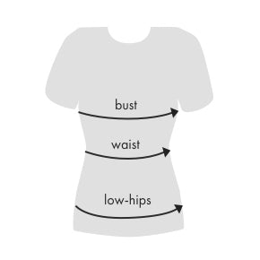
| Size | US | Bust | Waist | Low Hip |
|---|---|---|---|---|
| XS | 2 | 32 | 24 - 25 | 33 - 34 |
| S | 4 | 34 - 35 | 26 - 27 | 35 - 26 |
| M | 6 | 36 - 37 | 28 - 29 | 38 - 40 |
| L | 8 | 38 - 29 | 30 - 31 | 42 - 44 |
| XL | 10 | 40 - 41 | 32 - 33 | 45 - 47 |
| XXL | 12 | 42 - 43 | 34 - 35 | 48 - 50 |
Measure around the fullest part of your bust.
Measure around the narrowest part of your torso.
With your feet together measure around the fullest part of your hips/rear.